S-100 TRIAL
In collaboration with UKHO and SHOM, download official S-100 datasets and explore them in Seall’s ECDIS software.

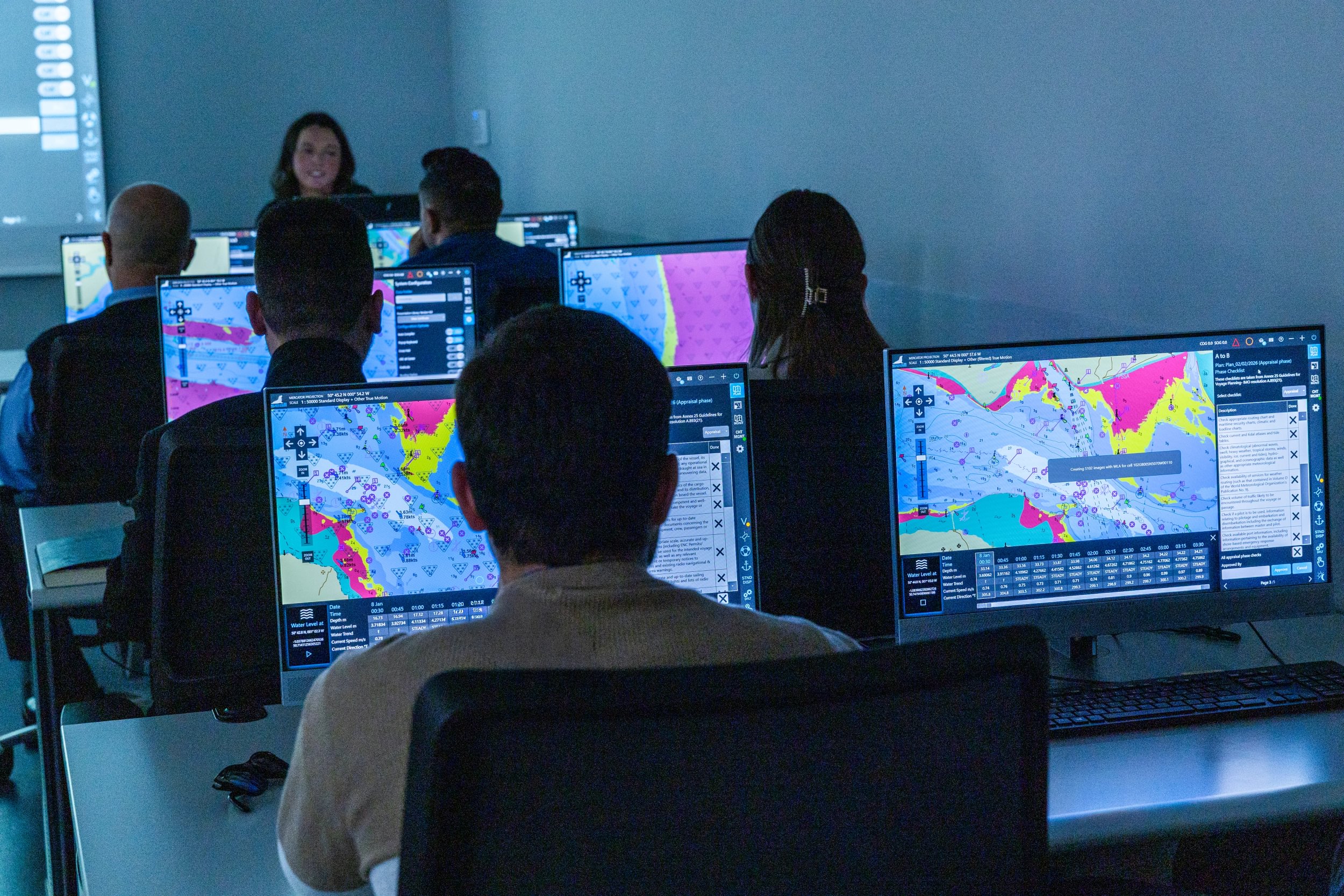
One of the easiest ways to think about the S-100 framework is as a collection of new hydrographic products. S-101 introduces the next generation of Electronic Navigational Charts, S-102 provides high-resolution bathymetry, S-104 delivers forecast water level information, S-111 introduces surface currents and S-124 brings machine-readable navigational warnings. Individually, each of these products adds valuable information to the bridge, but viewing them as separate datasets risks missing the reason the industry is moving towards S-100 in the first place.
Navigation has never depended on a single source of information. Long before S-100, mariners were already combining chart information with tidal predictions, weather forecasts, pilotage guidance and navigational warnings to make operational decisions. The challenge has never been obtaining that information; it has been bringing it together in a meaningful way. Traditionally, those datasets have been produced by different organisations, delivered through different systems and interpreted separately before being mentally combined by the navigator.
This is where S-100 begins to change the picture.
Rather than simply introducing additional products, it provides a common, machine-readable framework that allows those products to be used together. For software developers, this means moving beyond simply displaying information towards designing workflows that make use of that information in context.
Take under-keel clearance as an example. S-101 provides the navigational chart, while S-102 offers a much more detailed understanding of the seabed. On their own they each contribute useful information, but when S-104 water level information is introduced, the available depth can be assessed against predicted tidal conditions rather than remaining static. Instead of simply asking whether a route is safe, software can begin to support questions such as when a route becomes safe or how changing an ETA may influence available under-keel clearance.
The same principle applies to S-111 and S-124. Surface current information is valuable when displayed on the chart, but it becomes significantly more useful when considered alongside vessel characteristics, planned routes and changing environmental conditions. Likewise, navigational warnings become much easier to interpret when they can be presented within the context of the route being planned rather than as separate text requiring manual interpretation.
Over the last few years, our own implementation of S-100 has increasingly focused on this question. Rather than asking whether we can display S-102, S-104, S-111 or S-124, we've been asking how those products can work together to support better operational decisions. That has shaped the way we've approached features such as dynamic water level adjustment, route assessment and environmental overlays, and continues to guide our participation in international S-100 working groups and operational trials.
Ultimately, the value of S-100 is unlikely to be measured by the number of products it introduces. Its real significance lies in providing a common framework through which navigation software can integrate environmental information more effectively, reducing the effort required to bring that information together and allowing navigators to focus on the decisions that matter.
Explore how we're bringing the S-100 data products together, and download S-100 trial data: https://s100.seallecdis.com/

